Nội dung toàn văn 34/2009/TT-BXD
MINISTRY OF CONSTRUCTION | THE SOCIALIST REPUBLIC OF VIETNAM |
No.: 34/2009/TT-BXD | Hanoi, September 30, 2009 |
CIRCULAR
DETAILING SOME PROVISIONS OF THE DECREE NO.42/2009/ND-CP DATED 07/05/2009 OF THE GOVERNMENT ON THE CLASSIFICATION OF URBAN AREAS.
Pursuant to the Decree No.17/2008/ND-CP dated 04/02/2008 of the Government regulating functions, duties, powers and organizational structure of Ministry of Construction;
Pursuant to the Decree No.42/2009/ND-CP dated 07/05/2009 of the Government on the classification of urban areas;
The Construction Ministry details some contents of the Decree No.42/2009/ND-CP dated 07/05/2009 as follows:
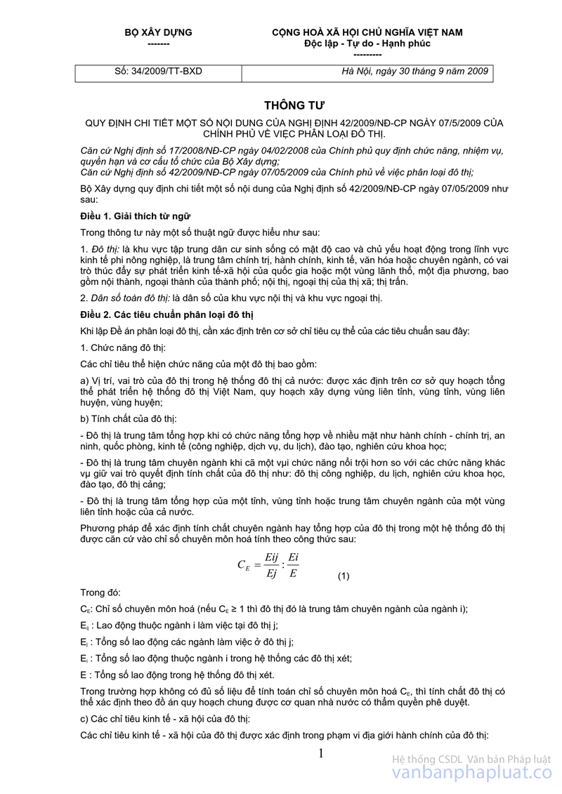
Article 1. Interpretation of terms
In this Circular, some terms are construed as follows:
1. Urban area: means the area concentrated living residents with high density and operating primarily in non-agriculture economy, the centre of politics, administration, economy, culture or profession, with the role of promoting economic and social development of the country or a region of territory or a locality, including the inner city, suburbs of the city, inner town and outskirts of towns; and townships.
2. Population of the whole urban city: means the population of areas of inner city and suburban area.
Article 2. The criteria for classification of urban area
When setting up urban classification scheme, it should determine on the basis of the specific targets of the following criteria:
1. Urban functions:
The indicators showing a function of an urban area, including:
a) The position and role of cities in national urban system: are determined on the basis of overall development planning for Vietnam's urban system, development planning of inter-provinces regions, and inter-districts regions, district regions;
b) The nature of urban area
- Urban area is a synthesized centre when it has the synthesis function in many aspects such as administration - politic, security, defense, economy (industry, services, tourism), training, scientific research;
- Urban area is a specialized center when it has a function dominant than the other functions and plays a role in deciding the nature of urban area such as urban area of industry, tourism, scientific research, training, the port city;
- Urban area is a synthesized centre of a province, provincial region or a specialized center of inter-provincial region or of the whole nation.
Method to determine the specialized or general nature of an urban area in a urban system based on specialization indices is calculated by the following formula:
![]() (1)
(1)
Of which:
![]() : The index of specialization (if
: The index of specialization (if ![]() ≥ 1, then that urban area is a specialized center of the branch i);
≥ 1, then that urban area is a specialized center of the branch i);
Eij: Labors of branch i working in urban area j;
Ej: Total number of employees working in the urban area j;
Ei: Total number of employees of branch i in the system of considered urban areas;
E: Total number of employees in the system of considered urban areas.
In case of insufficient data to calculate the specialization indices of CE, the urban nature can be determined by the general planning scheme approved by the competent State agencies.
c) The economic-social indicators - of urban area:
The economic-social indicators - of an urban area are determined within the administrative boundaries of the urban area:
- Total budget revenue collection in the area (billion VND/year): Total budget revenue collection in the area including local revenue collection enjoyed 100%, local revenue collection enjoyed by percentage between the central budget and local budget and additional revenue collection from the budget of higher levels;
- Total budget expenditure (billion VND/year): Includes expenditures for development investment, regular expenditure, payment of interest, principal, raising money for investment, additional expenditure for financial reserves, additional expenditure for lower-level budget and expenditure for transfer from the previous year to the following year, expenditure for the other expenditure tasks;
- Balance of the budget revenues collection and expenditures;
- Income per capita in comparison to the whole country (time);
- The economic growth average of 3 latest years (%);
- The poverty rate determined according to current regulations (%);
- The rate of annual population growth (%), including natural population growth and mechanical population growth excluding increase by the administrative boundary expansion of urban area.
2. The size of urban population
a) The size of urban population including permanently residing population and temporarily residing population converted the inner city and suburban area, is calculated by the following formula:
N = N1 + N2 (2)
Of which:
N: total urban population (people).
N1: The population of inner city (people);
N2: The population of the suburban area (people);
- The population size of inner city (N1) and the suburban area (N2) is determined, including permanently residing statistic population and converted temporarily residing population:
Population temporarily residing from 6 months or more is calculated as permanently residing population, less than 6 months is converted to urban population according to the formula as follows:
![]() (3)
(3)
Of which:
No: number of temporary residents converted into the urban population (people);
Nt: Total number of visitors permanently residing in the inner city and suburban area less than 6 months (people);
m: average number of days of temporary residence of a person (day).
b) The rate of urbanization of the city (T) is calculated as follows:
 (4)
(4)
Of which:
T: The rate of urbanization of urban area (%);
Nn: The total population of inner city areas in the administrative boundaries of the urban area (people);
N: total urban population (people).
3. Urban population density
Urban population density reflecting the degree of population concentration of inner city area is calculated by the following formula:
 ( 5)
( 5)
Of which:
D: population density in the inner city areas (people/km2);
N1: The population of inner city areas calculated in conversion (people);
S: Area of urban construction land in the inner city areas excluding the natural areas such as mountains, water surface, green space (ecological areas and nature reserves areas ranked on the biological value ...) and areas where construction is prohibited (km2).
4. The rate of non-agriculture labor
a) Urban non-agriculture labors: mean workers in the inner city area of the national economic sectors such as industry, construction, transportation, post, trade, material supply, public services, tourism, science, education (pupils, students are not included in labor force), culture, art, health, insurance, sports, finance, credit, banking, state management and other employees not being of the agricultural sector, fisheries (salt workers, fishing workers, forestry workers are counted as non-agriculture workers);
b) The ratio of non-agriculture labor of inner city area is calculated by the following formula:
 (6)
(6)
Of which:
K: The rate of non-agriculture labor of urban area (%);
Eo: Number of non-agriculture workers in the inner city areas (people);
Et: The number of employees in all economic sectors in the inner city areas (people).
5. Criterion 5: The system of urban infrastructure
a) The system of social infrastructure including housing, works of service, trade, health, culture, education, training, scientific research, sports and the works for other public-utility benefits;
b) The system of technical infrastructure including transport, electricity supply and public lighting, water supply systems, drainage systems, green parks, waste handling, cemeteries, information, telecommunications;
- When building the main axis of transport of the urban area, it must ensure synchronous investment in other infrastructure projects such as water supply, drainage, communication, telecommunication, electricity supply, lighting, green trees.
- The suburban area must be invested in construction by approved plans to ensure the synchronization of the technical infrastructure, social infrastructure in the residential areas; frame infrastructure network connecting the inner city, suburban areas and surrounding area; the contact-point technical infrastructure; protection of ecological landscape and areas prioritized for agricultural development.
6. Urban architecture, landscape
Urban architecture, landscape is evaluated based on the following criteria:
a) There is a management regulation on planning, urban architecture or management regulation on planning, architecture of each approved urban area. The urban construction, growth is appropriate and in compliance with planning management, urban architecture;
b) Having a new urban area built-synchronously; the new urban area recognized as a model new urban; the renovated urban area with housing areas and residential quarters;
c) Having the civilized urban streets: with harmonious architecture of streets, with enough street pavement, ensuring urban landscape in lighting, green trees, break points, sun shielding device, fence for construction, signage, advertising, selling places, parking; line system (communications and telecommunications, lighting electricity, living electricity supply) built underground;
d) Having the public space of urban area include community living space, parks, gardens, squares and walking areas organized as open space, with places for leisure, recreation for the spiritual life of the urban population;
đ) Having the typical architectural works, works of culture, history, heritage, famous landscape, pagodas with national or international significance accredited by competent agencies, professional associations or the other international organizations.
Article 3. Method to score for evaluating and classifying urban area
1. Principles for scoring
a) The total scores of 6 criteria are required to reach a minimum number of 70/100 points;
b) Each indicator in every criterion is calculated points by the method of interpolation in the space between the specified maximum and minimum level. Not to calculate extrapolation as it exceeds the specified maximum level and score the point 0 for criteria not achieved the prescribed minimum level.
2. The point of each criterion
The point of each criteria of urban classification is determined specifically as follows:
a) Criterion 1: Urban function reaches a maximum number of 15 points;
b) Criterion 2: The size of urban population reaches a maximum number of 10 points;
c) Criterion 3: The urban population density reaches a maximum number of 5 points;
d) Criterion 4: Percentage of non-agriculture workers reaches a maximum number of 5 points;
đ) Criterion 5: The system of urban infrastructure reaches a maximum number of 55 points;
e) Criterion 6: Urban architecture, landscapes reaches a maximum number of 10 points;
Synthesis, evaluation of six urban classification criteria is specified in the Appendices 1 to 6, issued together with this Circular.
Article 4. Dossier of urban classification scheme
1. Dossier submitted for evaluation and approval
a) A written statement of the competent agency (as defined in Article 17 of the Decree No.42/ND-CP on the classification of urban area);
b) A project proposed for the recognition of urban type
- A written explanation on the project:
+ The reason and necessity;
+ Overview of the history, formation, and development of urban area;
+ Assessing the current state of urban development and the quality of urban infrastructure;
+ Summary of urban classification criteria and evaluation of urban classification;
+ The report summarizing the performance of urban development program
+ Conclusions and recommendations.
- The Appendices:
+ The legal documents: the provincial-level People’s Council Resolutions ratified urban classification project and other relevant documents;
+ The data tables related to the project;
+ The scaled drawings (A3) include the positions of regional relations (01 drawing); the administrative boundary map of the urban area (01 drawing); the map of the urban construction current state and locations of projects being implemented (01 drawing); Map of space development orientation (01 drawing); the first phase zoning map in the short term (02 drawings showing the contents of the land use planning and technical infrastructure system planning).
- Urban development program
c) Video tapes or discs on the urban development proposed for classification (for 20 to 25 minutes);
d) Profile of drawings for evaluation report: 01 set of dossier in the right scale (list of drawings prescribed at Point b of this clause and drawings and other illustrations as necessary).
2. Archiving records in the evaluating agency
a) The relevant documents;
b) Decision on the recognition of urban type of the competent authority;
c) The project proposed for the recognition of urban type;
d) CD (or VCD) saving all the documents and drawings of the project;
e) Illustrating DVD movies.
Article 5. Urban Development Programs
The content of urban development programs include:
1. Summarize the contents of general urban planning project which identifies the programs and plans prioritized investment and expected resources to comply with the general urban planning project which has been approved by competent authority;
2. Assess the status of construction investment, management of urban development, clearly define the construction investment projects which were approved, which had investors, having been conducted construction investment and other projects calling for investment; compare with the situation of urban area with the urban classification criteria;
3. Propose measures to implement and schedule to improve the type of urban areas.
Article 6. Organization of implementation
1. The Ministers, heads of ministerial-level agencies, Governmental agencies, Chairmen of the People’s Committees of the provinces and cities under central authority shall be responsible for the implementation of this Circular;
2. Urban Development Department – the Ministry of Construction is responsible for assisting the Minister of Construction to inspect and review of the implementation of the classification of urban areas and urban development programs under the plans approved by the provincial-level People's Committees;
3. Construction Departments of the provinces and cities directly under the Central Government, Departments of Planning Architecture in Hanoi and Ho Chi Minh City shall be responsible for assisting the provincial-level People's Committees to review, evaluate the urban classification, propose the plan for the urban classification, urban development programs in their respective localities every year and 5-year plan, annually report to the Ministry of Construction for synthesis to submit a report to the Government.
4. This Circular takes effect after 45 days from the date of signing for issuance;
5. In the course of implementation, if any difficulties and problems arise, the organizations and individuals should submit comments to the Ministry of Construction for study and settlement./.
| FOR MINISTER |
FILE ATTACHED TO DOCUMENT
|